An essential step in the planning of any engineering project involves the collection of survey data and the precise mapping of the project site.
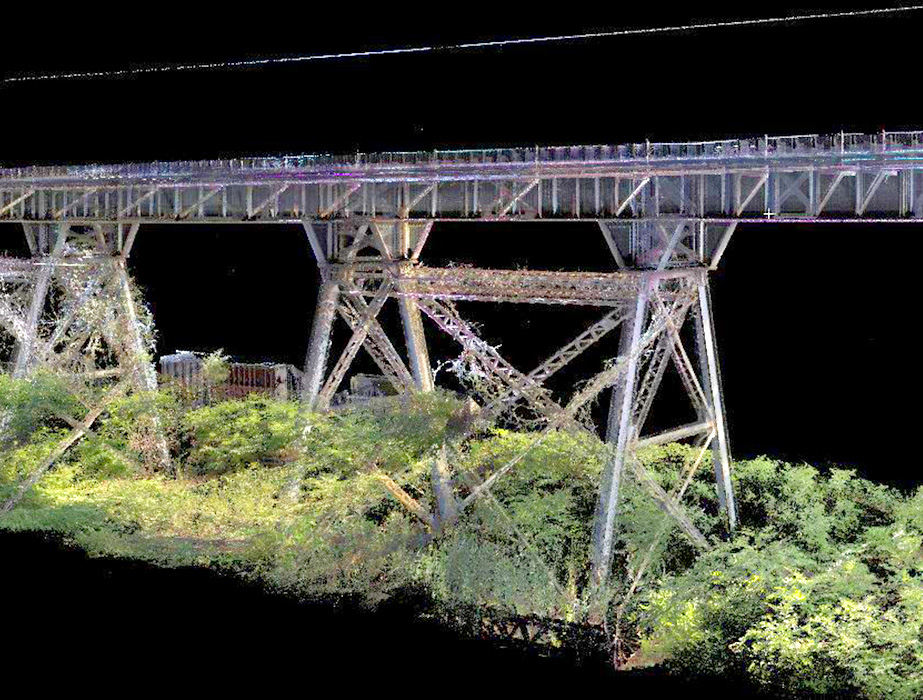
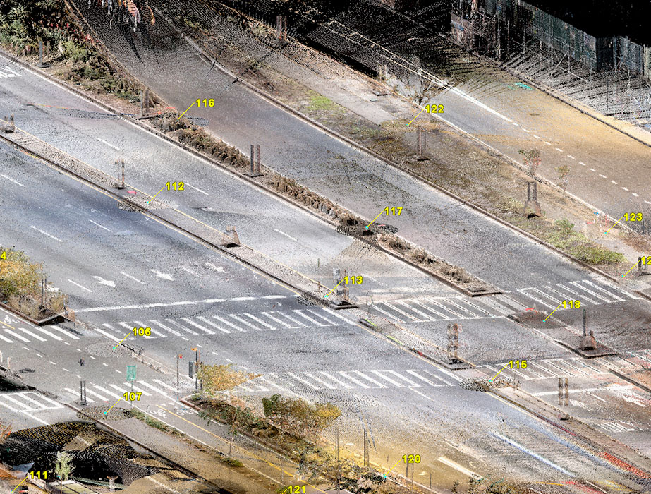
With a seasoned crew, cutting-edge survey equipment, and a deep commitment to excellence, Naik upholds a superior standard of work and takes full ownership of every project. We are unwavering in our dedication to remaining at the forefront of technology. One notable example is our integration of Laser Scanning into our processes, enabling the rapid digitization of intricate objects. This results in exceptionally precise 3D measurements and models of existing structures and sites.
Naik is an industry trailblazer because our Survey and Laser Scanning Departments consistently embrace the latest technological advancements. We ensure that these departments leverage technology to enhance efficiency in our production processes and drive continuous improvement.
Services:
- Topographic and Utility Survey
- LiDAR/3D Laser Scanning
- Drone Capabilities
- Horizontal and Vertical Project Survey Controls
- Survey Baselines
- Right-of-way and Property Line Determination
- Right-of-way and Property Acquisition