Brooklyn Queens Expressway (BQE) Triple Cantilever
- Client: NYC Department of Transportation
- Location: Brooklyn, NY
Project Overview
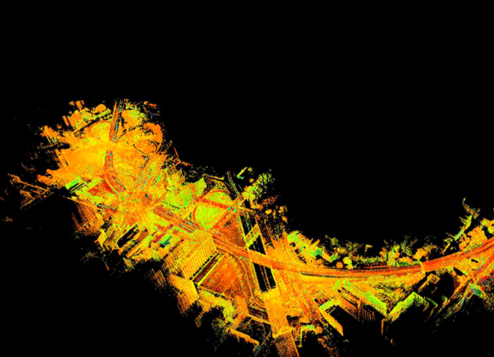
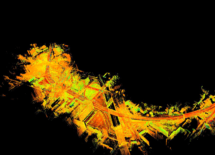
We conducted an extensive survey for the BQE project, covering a wide range of topographic and right-of-way assessments. This project area encompasses the stretch from Sands Street in the east to Atlantic Avenue in the west, which includes the entirety of the Atlantic Avenue Interchange located in Brooklyn, New York. Within these boundaries, a total of 21 bridges are situated.
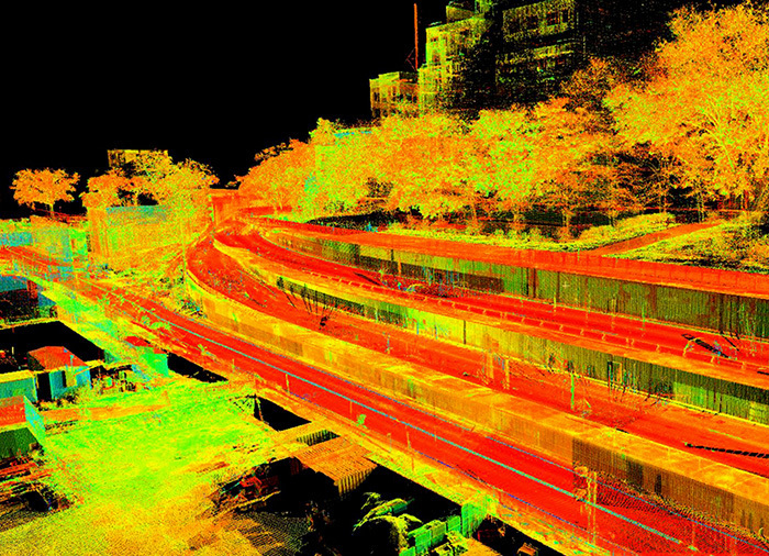
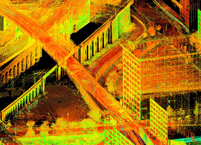
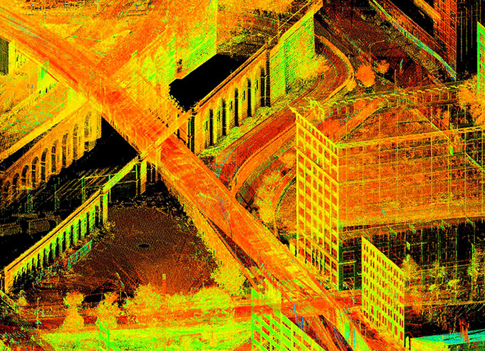
To ensure a comprehensive and cost-effective data collection process, we utilized state-of-the-art 3D laser scanning techniques, primarily during nighttime hours to minimize lane closures and reduce traffic disruptions. This innovative approach allowed us to gather highly precise survey data. Furthermore, it facilitated the creation of a detailed 3D model tailored specifically for the triple cantilever structure. This model serves a dual purpose, aiding in both presentation and analysis aspects of the project.
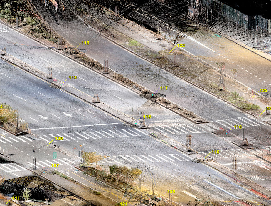
Additionally, our team conducted an in-depth drainage survey, meticulously assessing all existing drainage structures within the BQE project’s defined limits. This comprehensive survey ensured that every aspect of the project was thoroughly documented and analyzed for further planning and execution.
 Survey & Laser Scanning